Aerial Thermal Inspection
Drone Inspection | Aerial Thermal Imaging
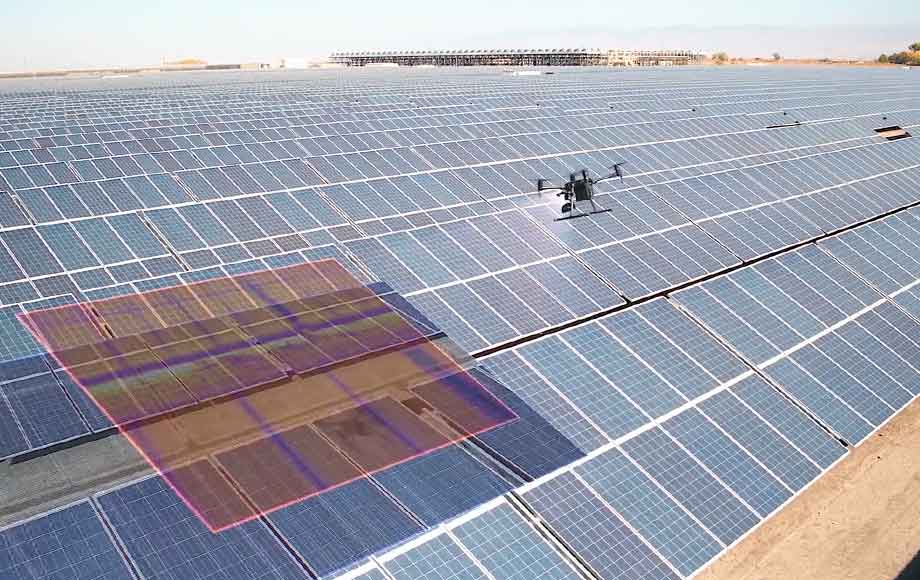
HexFlix uses radiometric thermal imaging alongside RGB imagery to capture temperature data and visual information across assets such as solar installations, rooftops, buildings and industrial sites.
The captured data can be supplied to asset managers, engineers or other qualified specialists for further assessment and interpretation.
Aerial Zoom Inspection
Drone Inspection | High Resolution Zoom Imagery
Zoom equipped drones can capture detailed imagery of elevated, distant or difficult to access assets while maintaining an appropriate operating distance.
This approach can support visual inspection of infrastructure, wind turbines, buildings, industrial equipment and other assets where close physical access may be difficult.
AI Automated Drone Inspections
Drone Inspection | Repeatable Automated Capture
Automated drone systems can support scheduled and repeatable inspection missions across suitable sites and assets.
Where appropriate, predefined flight routes can be used to capture consistent imagery over time, helping project and asset teams compare site conditions across repeat inspections.
Underground Drone Inspections
Drone Inspection | Underground Drone Inspections
Clients we have worked with: